By Vanessa Miller
Cedar Rapids Gazette
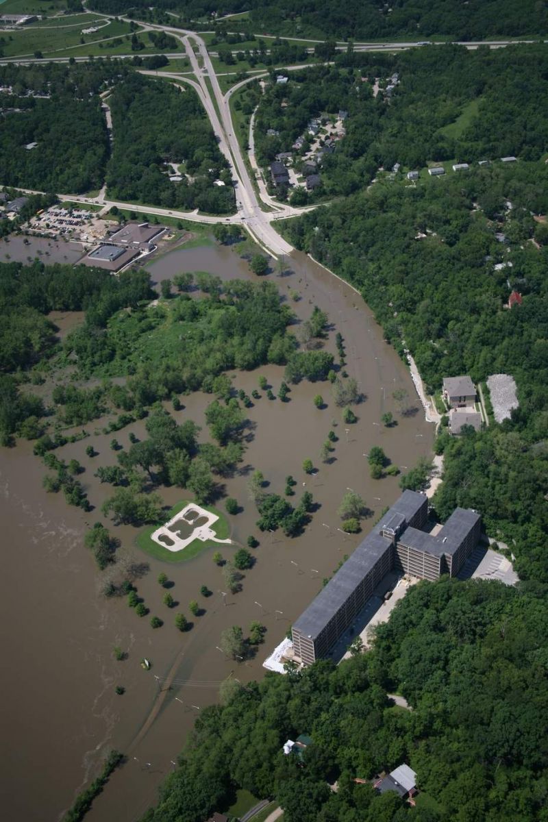
Eight years to the day after a swollen Iowa River crested in Iowa City at a record 31.53 feet, more than six feet above major flood stage— causing historic levels of damage — a new Clear

A Clear Creek Watershed kickoff meeting is scheduled for 5 p.m. Wednesday in Coralville in conjunction with the existing Clear Creek Watershed Coalition’s quarterly meeting. The new initiative is part of a wider “Iowa Watersheds Approach” created to address issues around devastating and dangerous floods across Iowa communities.
The approach, which the U.S. Department of Housing and Urban Development enabled in January with $96.9 million in support, will work with nine watersheds across the state to reduce flood risk, improve water quality, and increase community resilience. The University of Iowa-based Iowa Flood Center will oversee the project, which seeks to engage community stakeholders through outreach and education.
The nine watersheds that will serve as project sites include Bee Branch Creek in Dubuque, Upper Iowa River, Upper Wapsipinicon River, Middle Cedar River, Clear Creek, English River, North Raccoon River, West Nishnabotna River, and East Nishnabotna River.
Work on some of the other watersheds already is underway, having started before Clear Creek — which covers about 270-square-kilometers and joins the Iowa River in Coralville.
The hope for each site is to form a watershed management authority, create an assessment and watershed plan, instigate projects to reduce downstream flooding and improve water quality during times of flooding, according to Richard Lewis, a UI spokesman.
The assessment aspect of the watershed project will involve adding sensors to collect data about stress points during floods, Lewis told The Gazette. That will help communities determine best steps to relieving those stressed spots, he said.
Possibilities could include creating farm ponds or retention ponds to “relieve flooding and improve water quality,” he said. But landowners could choose from a range of conservation practices that also includes development of wetlands, terraces, bioreactors, and perennial crops.
“Landowners will be eligible to receive up to 75 percent cost share assistance for the construction of such practices,” according to UI officials.
The nearly $97 million dollars is being divvied up among the watershed sites, according to Lewis, with Clear Creek scheduled to receive about $4.4 million — $3 million of which has been dedicated to those conservation and development projects aimed at relieving flood stress points.
Resulting improvements also could help save communities money — one day of torrential rain on April 17, 2013, brought six inches of rain to Coralville and washed out roadways, causing $114,000 in damages. When more severe weather hit in subsequent months causing flooding along the Iowa River, officials said, homes, trails, and farm fields were damaged — causing a total $4.6 million in soil loss.
“We all know how damaging and costly flooding has been to homes, farms, businesses, and communities throughout watersheds in Iowa,” Larry Weber, director of the UI’s IIHR — Hydroscience & Engineering, said in a statement.
Weber’s entity serves as the parent organization of the Iowa Flood Center, which has tested the concepts and techniques it’s pursuing for this new watershed project. In 2010, U.S. Department of Housing and Urban Development awarded it funding to address five Iowa watersheds — including forming watershed management associations, conducting hydrologic assessments, developing watershed plans, and instigating new conservation practices.
“As these partnerships enter their final year, more than 65 engineering projects have been completed to reduce flood risk,” according to UI officials.