The Iowa Flood Center will hold a celebration November 28 on the completion of the Iowa Statewide Floodplain Mapping Project.
The event will take place at 1:00 p.m. in 2520D University Capitol Center with a presentation by Nathan Young, associate director of the center on "Mapping Iowa's Flood Hazards." A reception will follow.
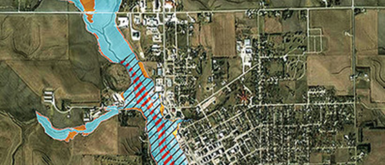
In 2010, the Iowa Flood Center and Iowa Department of Natural Resources began a six-year, $15 million program to create and update floodplain maps throughout the state. Funded by the U.S. Department of Housing and Urban Development in response to the devastating 2008 flood, the Iowa Statewide Floodplain Mapping Program helped to identify and communicate Iowa’s flood hazards, providing communities and individuals with information needed to make informed decisions on managing floodplain areas.
Working with the Iowa Department of Natural Resources, the U.S. Army Corps of Engineers, FEMA, and the Iowa Natural Heritage Foundation, the IFC team created maps showing probability, extent, and depth of flooding for every Iowa stream draining more than one square mile.
The floodplain data are freely accessible through a Google Maps–based web interface available at www.iowafloodmaps.org.